AIROBOTICS DRONE IN A BOX AUTOMATED DEPLOYMENT A 2017 DRONE TREND
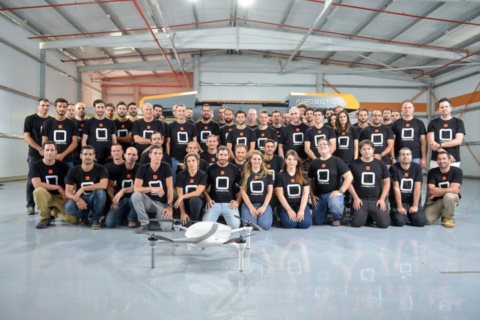
Drones in a box biding their time waiting to do their masters bidding. This is a market I see a bright future for.
Why does a mine or building site need to call up a trained pilot to fly the same route day in day out? Rather have the drone do it and then tuck itself up, back in bed charging whilst the images (data) is automatically sent back to be processed in a GIS hub. No human intervention at a local level.
EXPLORING THE CHANGING EARTH, IN REAL TIME
 Across the Lamont-Doherty Earth Observatory campus, scientists are exploring undersea volcanoes, monitoring coastal erosion along hard-to-reach shorelines, and studying the movement of sea ice – all in real time. By loading drones with high-tech instruments and using satellites and undersea cables that are interacting with sensors in some of the most remote locations on Earth, they are uncovering the secrets of our planet.
YUNEEC INTERNATIONAL EXPANDS COMMERCIAL UAV OFFERINGS WITH ALL-NEW H520

ONTARIO, CA (January 5, 2017) — Yuneec International, a world leader in electric aviation, today announced the expansion of its commercial UAV offerings with the unveiling of the H520, an advanced six-rotor drone for commercial applications. The H520 builds off Yuneec’s proven six-rotor platform and incorporates industry-first commercial-grade cameras and applications for high-end commercial use. The H520 offers longer flight time, greater payload, modular design and enhanced components while staying true to Yuneec’s standard of excellence in aviation precision and safety.
VANILLA AIRCRAFT CLAIMS WORLD RECORD 56-HOUR DRONE FLIGHT
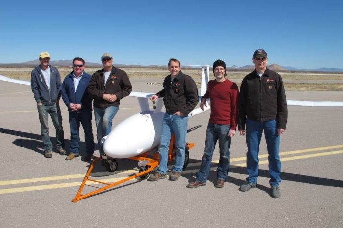
Vanilla Aircraft, LLC today announced that on December 2, their VA001 unmanned aircraft system (UAS) completed a non-stop, unrefueled 56-hour flight. The flight was submitted for a world duration record for combustion-powered unmanned aerial vehicles (UAVs) in the 50-500 kg subclass (Fédération Aéronautique Internationale Class U-1.c Group 1). A representative from the National Aeronautic Association was present to witness the record.
TEN RECENT DRONE INVENTIONS – VIDEO
A compilation of short clips of ten unusual drone inventions to be found on YouTube.
DRONE INSPECTION FOR INTERIOR OF INDUSTRIAL CHIMNEYS
Industrial chimneys are inspected regularly to insure their structural integrity. Often this requires a person to physically traverse the interior and exterior of a stack by repelling on ropes. Not only does this operation require a scheduled shut-down to complete, it poses a significant safety risk to the crew involved.
DARPA ANNOUNCES ENDURANCE RECORD FOR DIESEL UAV
 A DARPA-backed small business effort broke boundaries for long-endurance flight this month by launching a uniquely designed, combustion-powered unmanned aircraft that stayed aloft for more than two days and two nights.
AUTEL ROBOTICS ANNOUNCES NEW CAMERA MODULES FOR X-STAR SERIES DRONES AT CES 2017
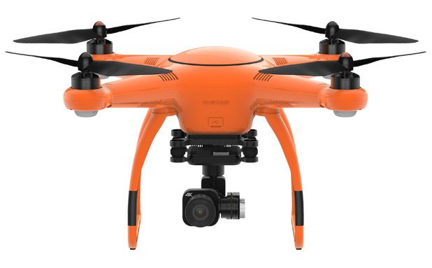
Camera drone manufacturer Autel Robotics announced today that it will deliver two new camera modules for the current X‑Star series of camera quadcopters in 2017. The first will be a FLIR Duo dual thermal and visual camera module. The second will be a visual camera with an upgraded picture quality, using a 1-inch CMOS sensor. Both modules will be on display at CES 2017 at the Autel Robotics booth at LVCC, South Hall 2-25618.
ELISTAIR TETHERED TRAFFIC DRONE MONITORS LYON RUSH HOUR
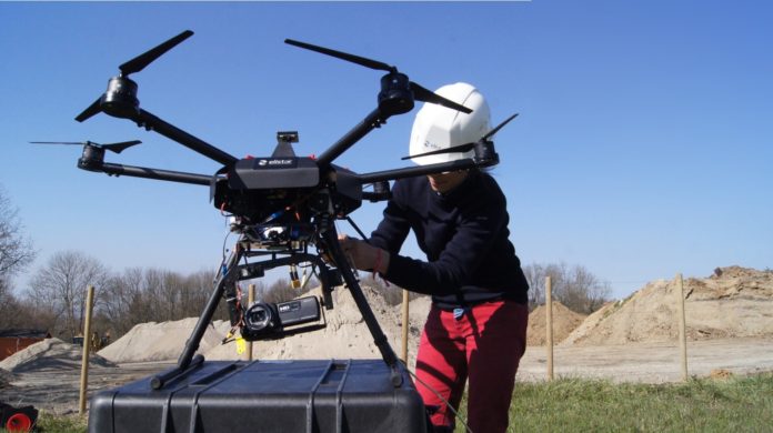
Vehicle traffic congestion and monitoring have become today the most critical issues in road transport and haulage. The second largest metropolitan area in France, Lyon suburb area represents a serious case to deploy vehicle traffic monitoring with tethered drone technology. Elistair tethered solutions offer continuous and real-time aerial video stream, allowing persistent data collection and technical analysis adjusted to road traffic monitoring.
A tethered drone is a compact tool, easy to transport and deploy, that gives access to various valuable traffic data: trajectories, speeds, behaviours, vehicle types, etc. Those data collections are crucial information for individual end users, transport operators and public authorities, to anticipate and solve today’s complex transport and haulage challenges.
NEARMAP BRINGS THE REAL WORLD TO YOU
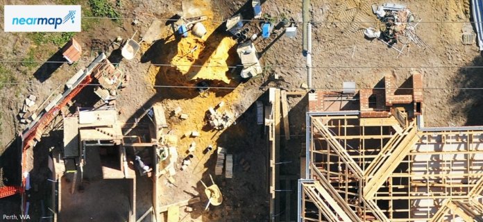
Instant access to high-resolution aerial imagery allows you to be everywhere without going anywhere
The new year is well underway. At Nearmap, we’ve been reflecting on the past but also looking ahead with excitement and enthusiasm.
To put our mission in context, as Nearmap evolved—first in Australia and now also in the US—a singular purpose emerged. We set out on a journey of exploration and discovery focused on capturing truth in the world and harnessing that truth in the form of powerful resources for our customers and partners. This journey has allowed us to bring the real world to you.
POWER TO THE PEOPLE: BRINGING DRONES TO POWER LINE STRINGING PROJECTS EVERYWHERE

Undeveloped countries are rushing to deliver power to all of their citizens – and with it the economic opportunities and progress that only a robust power infrastructure can deliver. But in some countries the natural terrain – and local laws – make power line stringing by traditional means nearly impossible.
Enter the drone. In Bandung, Indonesia, a power line project had been delayed for seven years when the original contractor abandoned the job as impossible. Local regulations prohibited workers from touching the roofs of homes – nearly impossible when working in a densely populated city of over 8,000,000. When local contractor QDC took over the job, they knew they’d have to take a different approach.
CATERPILLAR VENTURES INVESTS IN AIRWARE TO ADVANCE WORK SITE INTELLIGENCE THROUGH AERIAL DATA AT SCALE
SAN FRANCISCO, February 2, 2017 – Airware, which provides end-to-end solutions that turn aerial data into actionable business intelligence for enterprises, announced today that it has secured a strategic investment from Caterpillar Ventures. The investment allows Airware to accelerate programs that enable dealers to offer solutions and services within the construction, mining, and quarrying industries, and highlights Caterpillar’s commitment in leading the Industrial Internet of Things (IIot).
NEWS: JOHN DEERE AND KESPRY ENTER STRATEGIC ALLIANCE TO SIMPLIFY DRONE INTEGRATION ON CONSTRUCTION JOB SITES
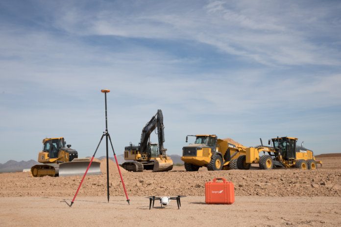
John Deere and Kespry today announced an exclusive global strategic alliance through which John Deere Construction & Forestry dealers will provide the Kespry Aerial Intelligence System to their customers on job sites around the world. Starting in North America, the alliance enables John Deere customers to use Kespry’s fully integrated industrial drone platform to capture topographic data in minutes with survey-grade accuracy.
